MLH-GHW / GEE API: How to use Japan Aerospace Exploration Agency's ALOS-3 dataset in GEE Python API
Project webpage: https://indigowizard.github.io/GHW-GEE-API/
Consider ⭐ starring the project ʕ •ᴥ•ʔ ... ʕ ·ᴥ·ʔ
IMPORTANT NOTE:
The Earth Engine token expires every 48H, so after this, the layers won't show up and the webapp may seem like not working, it's not, it's just that I don't update the token from my personal google earth engine account unless you need a live demo, otherwise check the preview section.
GHW Earth Engine API Tech Session: I built this quick project for the MLH Global Hack Week: April for APIs 's Earth Engine API tech session.
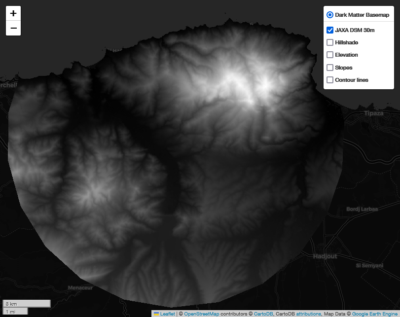
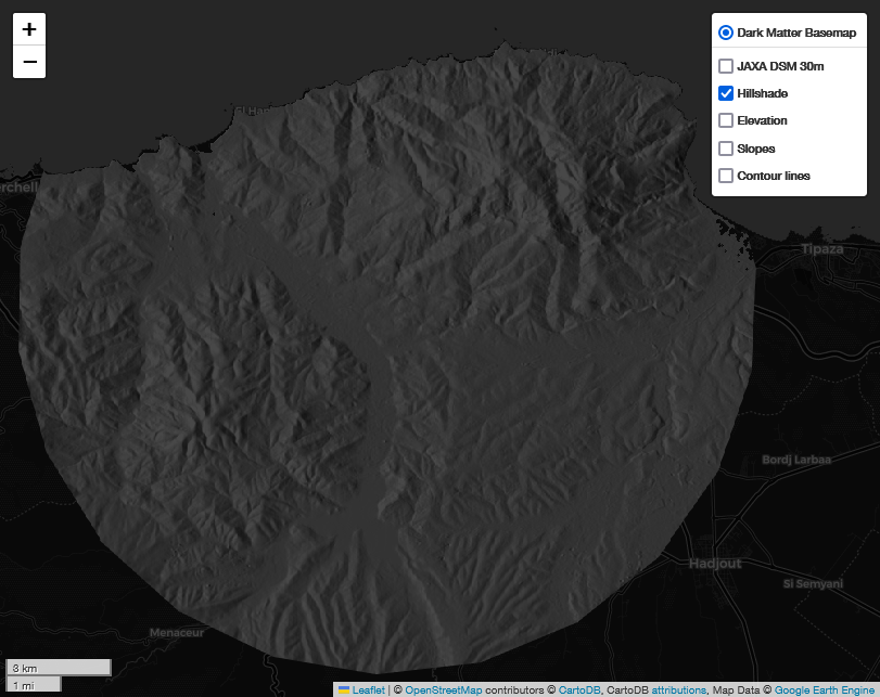
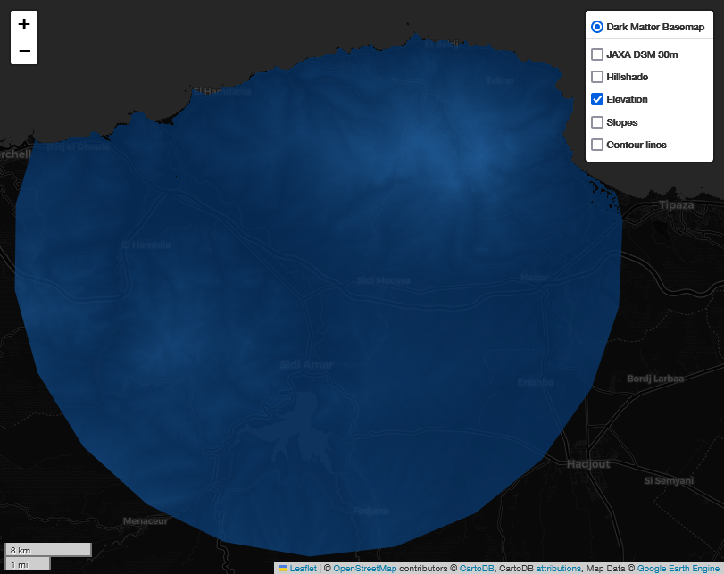
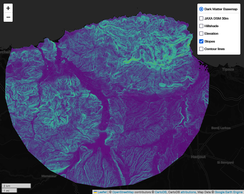
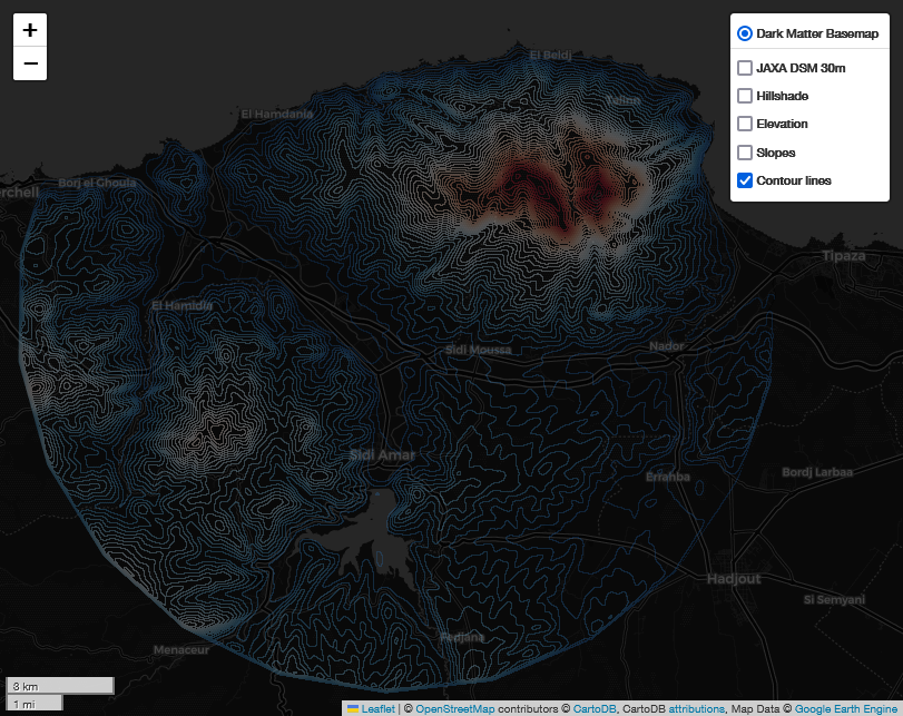
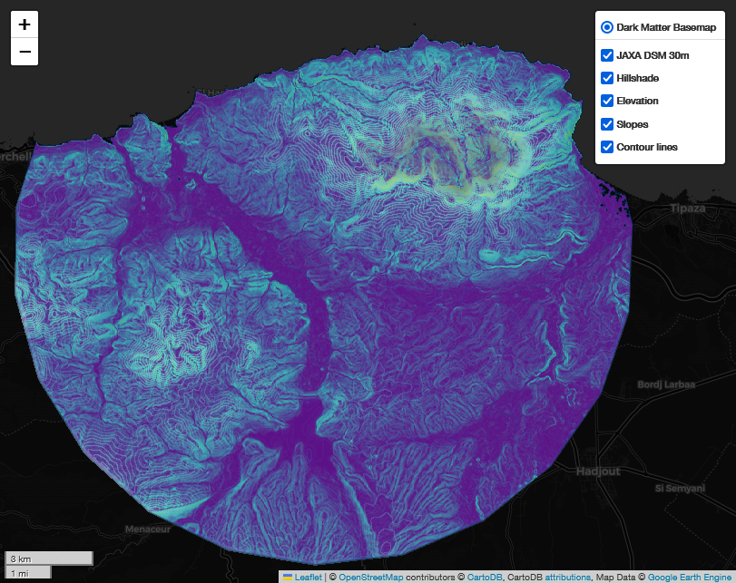
This is a demonstration on how to use Japan Aerospace Exploration Agency's ALOS-3 dataset (Advanced Land Observing Satellite) which is a 30m resilution global digital surface model (DSM) dataset to calculate terrain elevation of an area and render topography and relief of study area.
| JAXA DSM 30m | Hillshade | Elevation |
|---|---|---|
 |
 |
 |
| Slopes | Contour lines | Final Result - Layers Overlap |
 |
 |
 |